Services
At ODOM SURVEYING & MAPPING LLC, we deliver a full range of professional surveying and mapping services tailored to meet the needs of both residential and commercial clients. Our expertise spans boundary and topographic surveys, photogrammetric mapping, ALTA/NSPS land title surveys, wetland delineations, and a variety of specialized services designed to support development and design with accuracy and confidence. From construction layout for homes and commercial sites to large-scale infrastructure and land development projects, we combine advanced technology with proven field experience to provide precise, reliable data and detailed deliverables for every phase of your project.
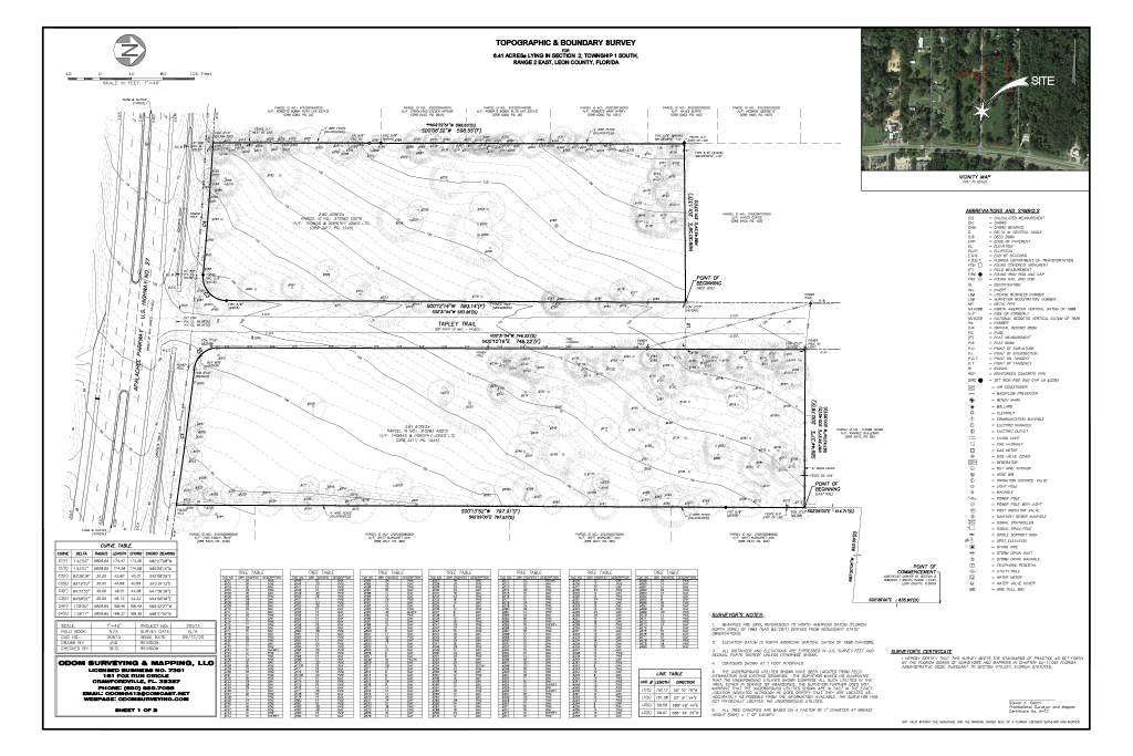
Topographic Surveys
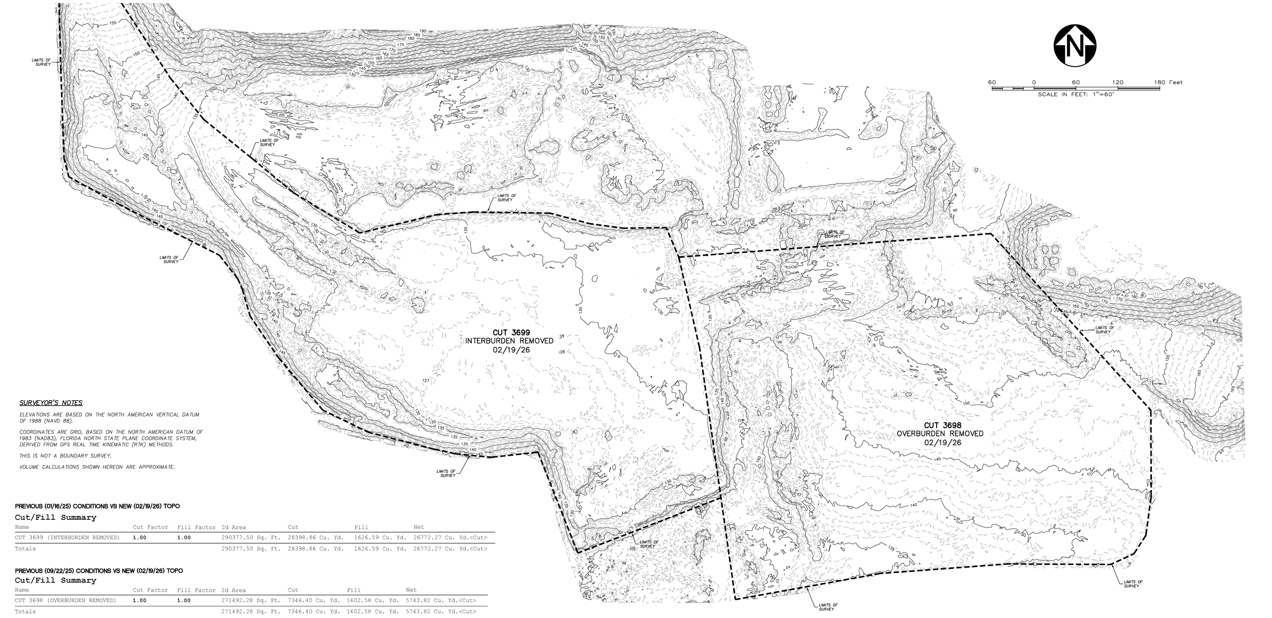
Topographic surveys capture existing site features and elevation data to create accurate base maps for engineering, design, and planning. We map terrain contours, structures, utilities, vegetation, and surface improvements—providing essential data for site grading, drainage design, permitting, and development planning. These surveys serve as the foundation for any successful construction or design project
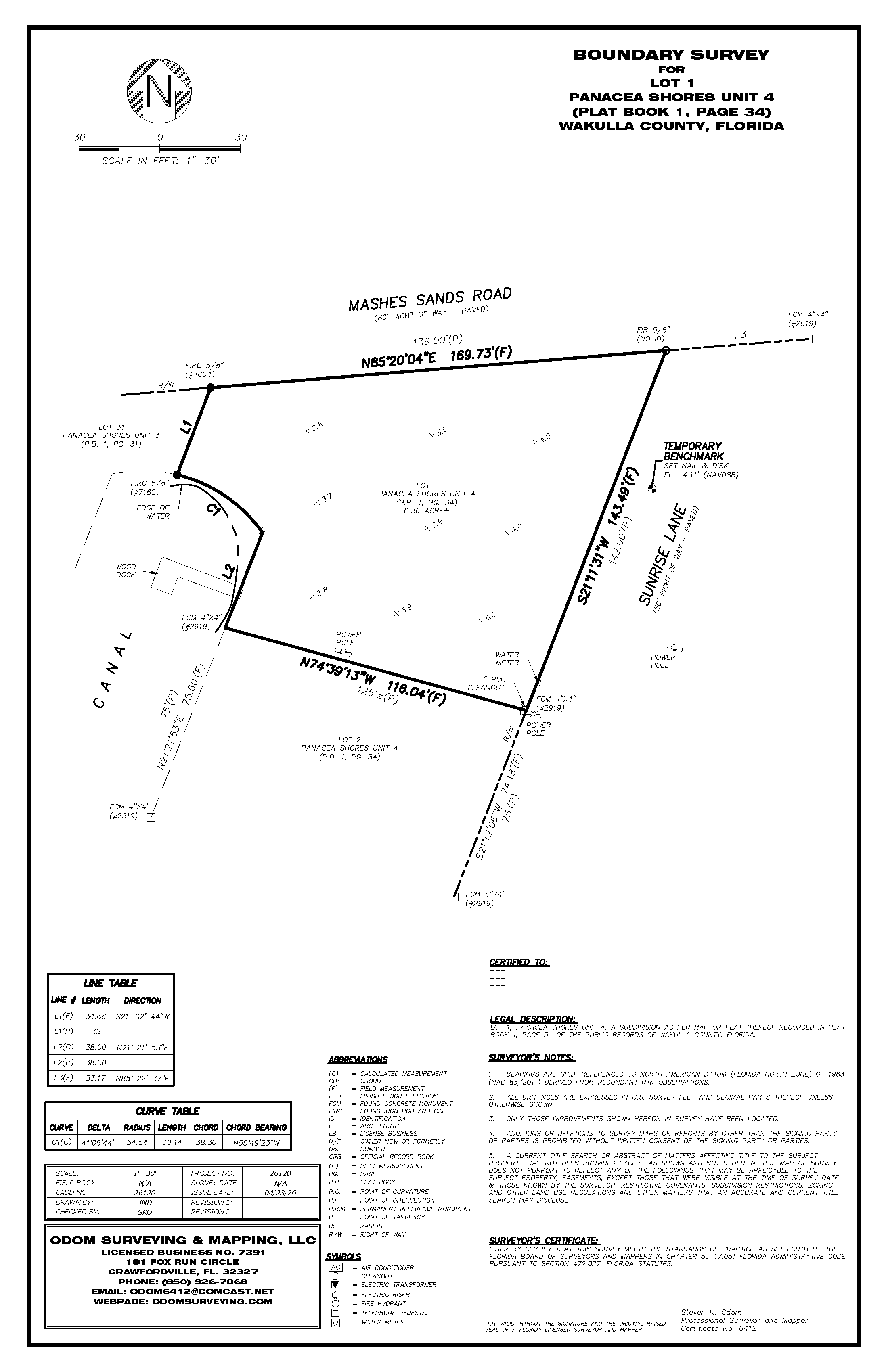
Boundary Surveying
Our boundary surveys establish the precise location of property lines and corners, ensuring clarity of ownership and compliance with legal descriptions. We research deeds, plats, and records to verify boundaries, mark corners on the ground, and provide detailed plats for property owners, developers, and legal professionals. Whether for a single residential lot or a multi-acre commercial tract, we deliver dependable results you can trust.
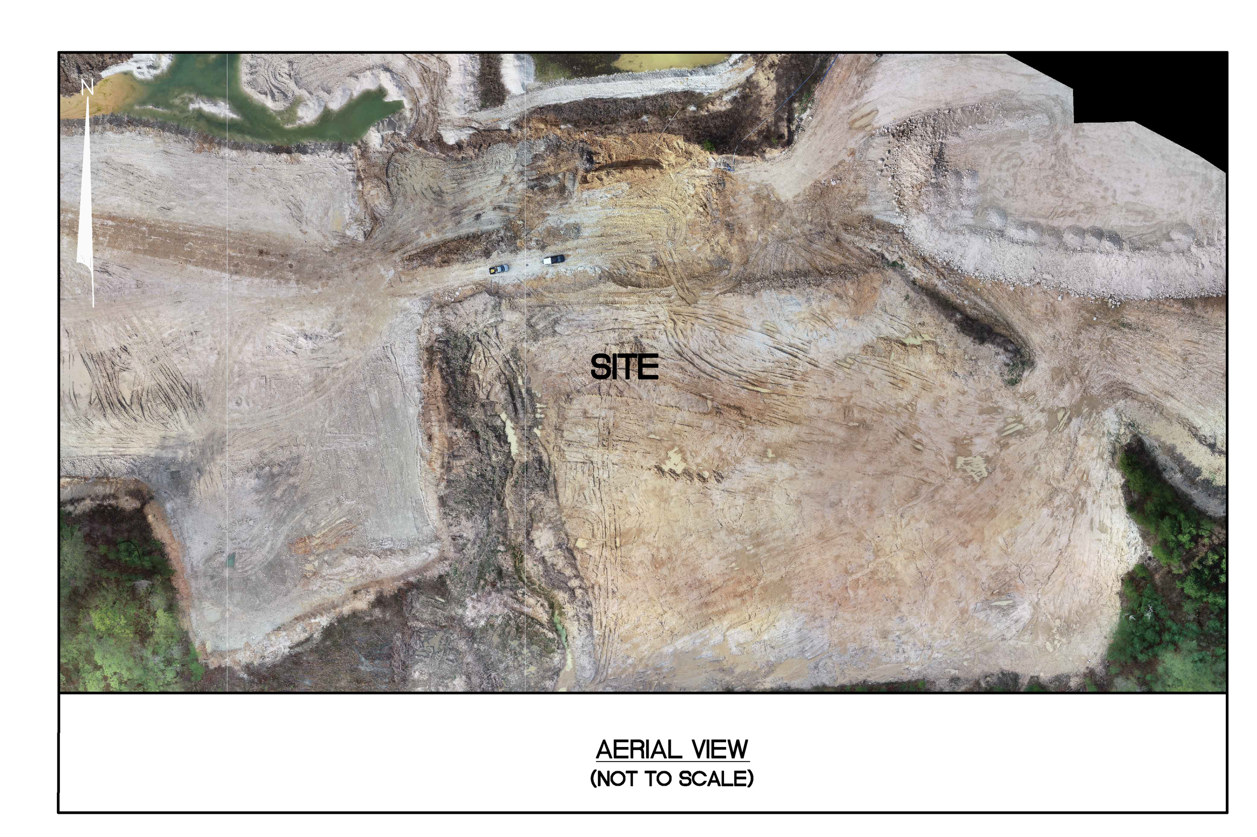
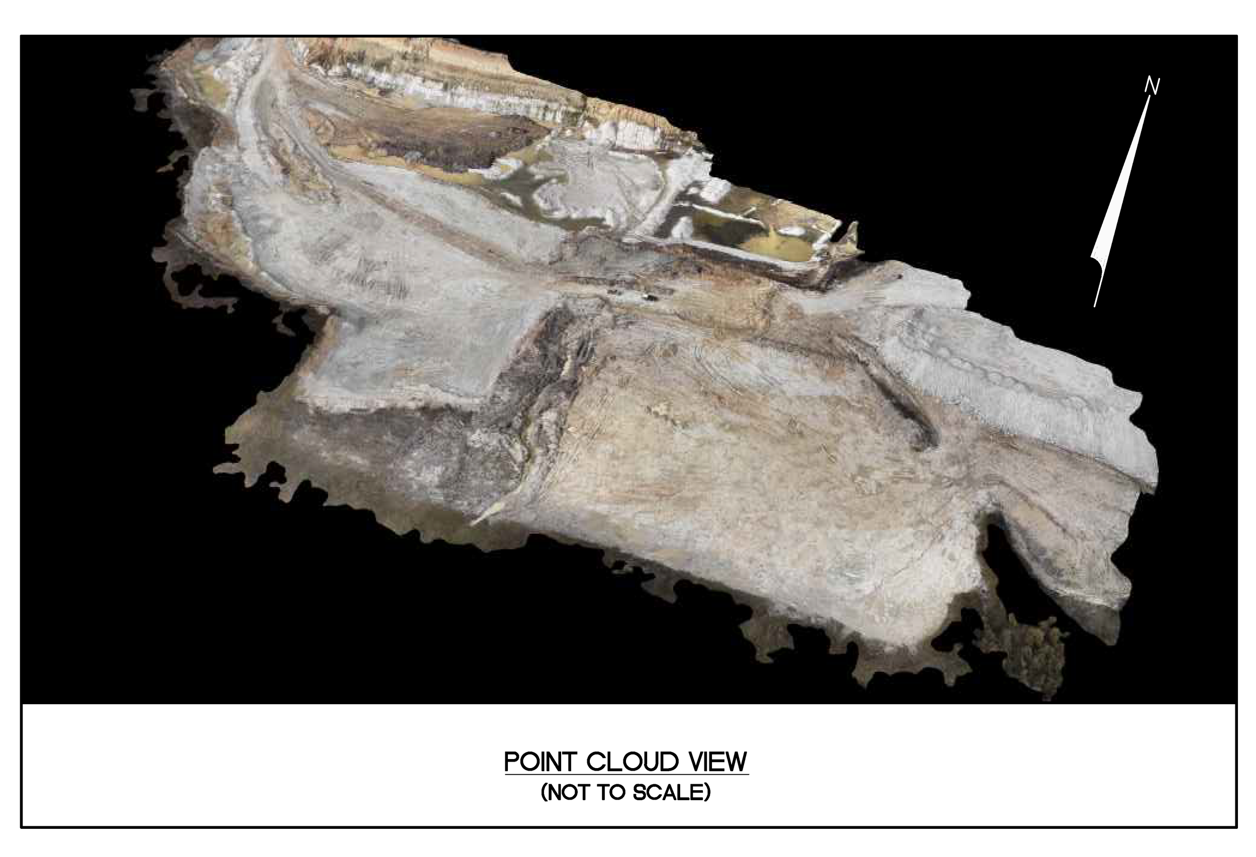
Photogrammetric Mapping
Small-Scale Projects
For residential properties, private developments, and localized sites, our photogrammetric services provide:
High-resolution aerial imagery for site visualization and documentation
Accurate elevation models and contours for grading, drainage, and planning
Quick, affordable mapping for permitting, design, and small-scale improvements
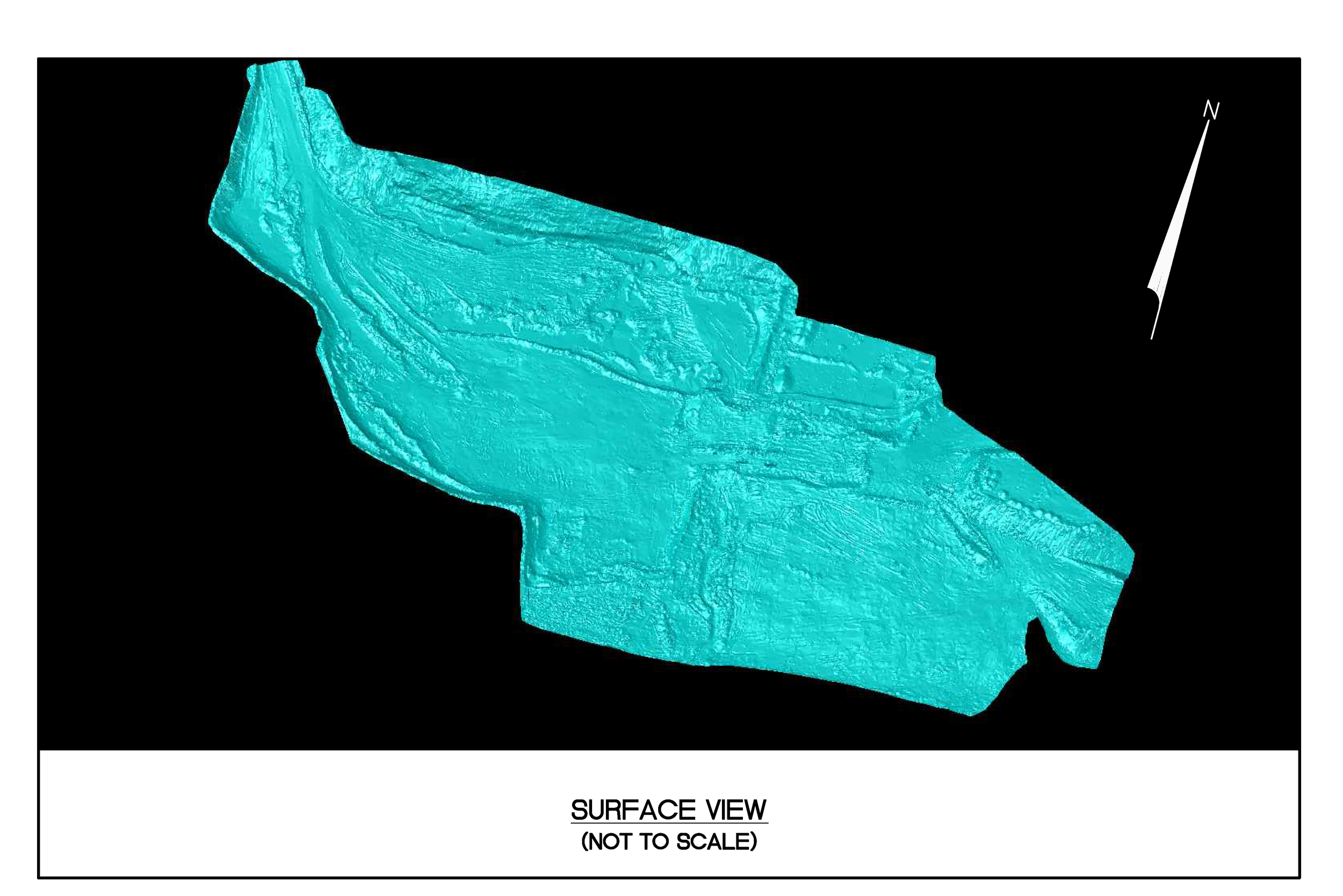
Large-Scale Projects
For commercial developments, infrastructure corridors, mining operations, and municipal projects, we offer:
Comprehensive aerial surveys covering large areas with survey-grade accuracy
Generation of Digital Surface Models (DSM), Digital Terrain Models (DTM), and contour mapping
Volume calculations, cut/fill analysis, and progress monitoring for construction and earthwork projects
Seamless integration with CAD, GIS, and engineering workflows
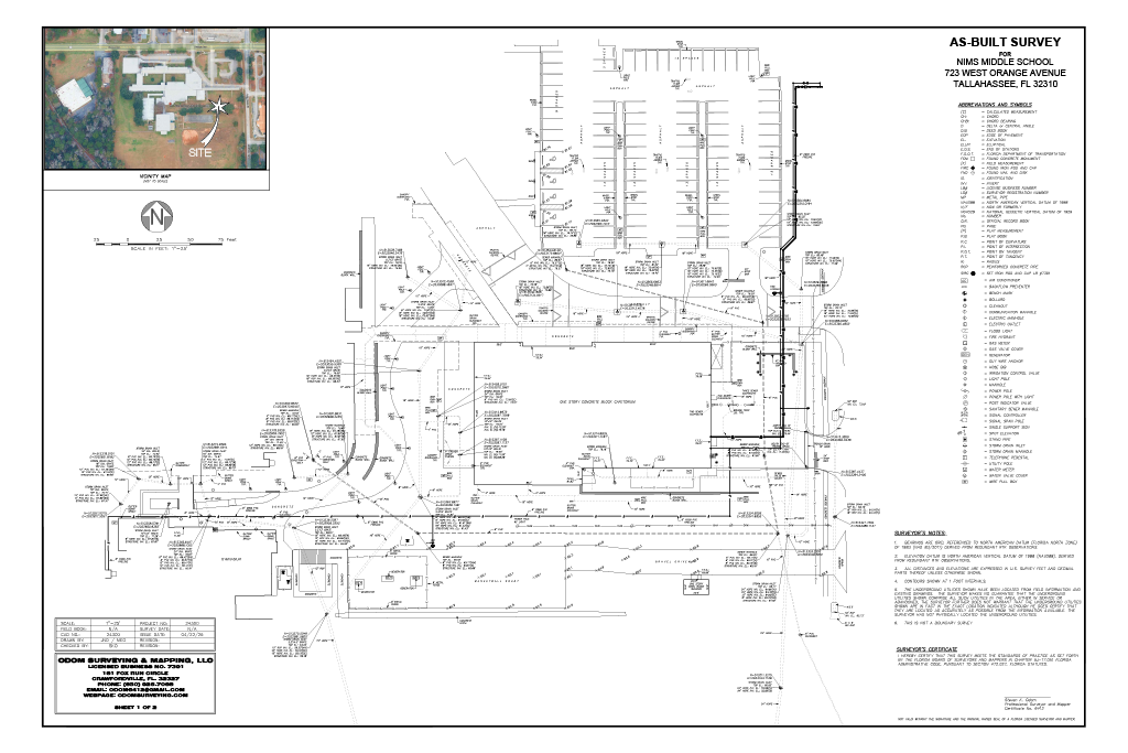
Commercial Projects:
Our commercial surveying services provide precise measurements and mapping to support the planning, design, and construction of large-scale projects. This includes detailed topographic surveys that capture elevation changes, drainage patterns, and existing features like buildings, utilities, and vegetation. These surveys help engineers and architects make informed decisions about site layout, accessibility, and infrastructure, ensuring the project is safe, efficient, and compliant with local regulations.